If your project requires precise dimensional set-out, we have the
experience and track record to assist. We have set out some of the
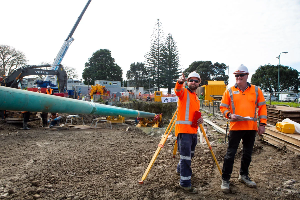
most demanding structures in the region from bridges to high-rise
buildings and subterranean pipelines. Our surveyors are up to it.
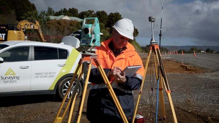
We work with you to obtain a clear understanding of the project requirements, check the information supplied by the principal and provide the most accurate set-out positioning utilising state of the art technology.
The biggest mistake people make on the big projects is assuming that the design plans are correct. At the outset we spend time verifying the plans and quantities. It is very important to gather accurate information on behalf of the contractor early on. This is invaluable as the project progresses and issues arise, as they do. Often the contractor has their own ‘on site’ engineers and surveyors and we specialise in overseeing the entire project and ultimately producing ‘as built’ plans to record exactly what was built. These are essential to the success of any project and ongoing maintenance of it.
When you work with us you know that we are with you every step of the way. Listening, calculating and setting out, recording information and delivering results. We pride ourselves in turning up when we are needed to avoid costly delays.
Learn more about Construction Set Out
2) Site Survey Process (including replacing boundary pegs and certification for building)
When we carry out site detail (topographic) surveys, boundary pegging, building set out or certification of boundary clearance for daylighting or site coverage, the pegs and/or plan you see are a small part of the job.
Before anything can be done in the field, we must establish the location and research relevant boundary and height datum information. We need to research the title and old survey plans, and note any restrictions such as easements for right of way or service connections. That’s why we need plenty of notice before we can help you.
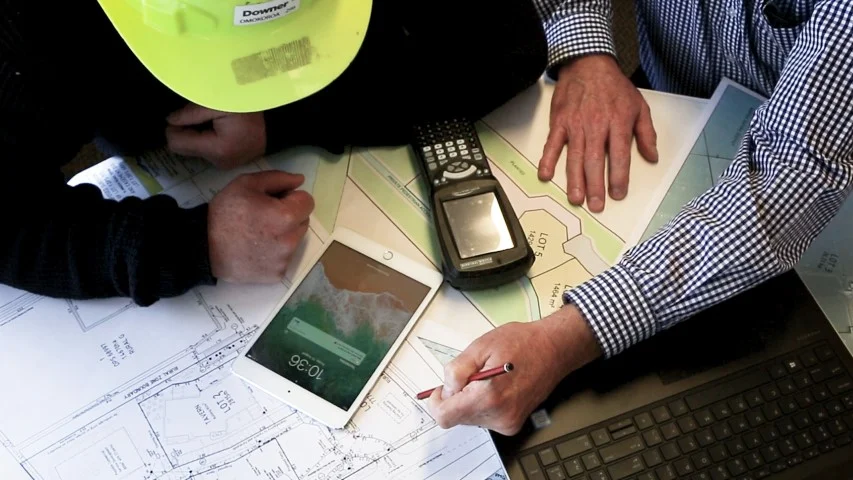
We then need to carry out precise calculations and upload the information into our equipment. With this done, we can be really efficient on site, where information is set out and gathered before returning to the office.
On our return to the office we need to carry out the further calculations, quality checks, drawings and certifications that are required. These certifications are often required for Land Information New Zealand and Council.
There is much more to surveying than a field trip with some specialised technology and equipment.
Site Survey Costs
The costs for these various surveying tasks vary depending on the site conditions, age of the title, information available and detail required.
As a guide, the following range should give you a general idea of what to expect. However, we price all projects individually:
Timing
All these tasks can take up to several weeks to complete so please don’t call us the day before you need the survey information or pegs in the ground. We need to research information and undertake calculations so that the field work can be carried out effectively. We also need time to confirm the requirements with you and other consultants that may be working on your project.
Useful Tip
Obtaining a good site (topographic) plan or locating those elusive boundary pegs early in the building or development process will set your project up to run smoothly. Architects and engineers rely on our accurate record of site information to design the best solutions – helping you ‘make the most of your land’.
Contact Us About maximising your land
Copyright © 2018 - 2025 Surveying Services. All rights reserved. Privacy | Terms of Trade | Sitemap | Website design by MOCA


